Spatial Digital Twin (SDT)

Government data sharing and implementation of Spatial Digital Twin (SDT) technology
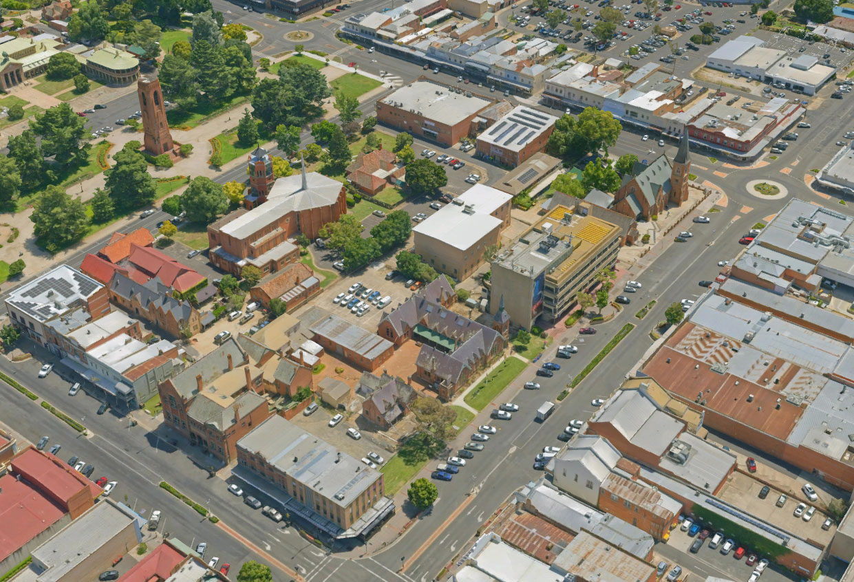
The NSW Spatial Digital Twin (SDT) is a program of work that is being led by DCS Spatial Services which will deliver a cross-sector, collaborative environment that will share and visualise three-dimensional location information. This real-world data supports improved decision making. The NSW SDT aims to share NSW Government data to create a single platform where anyone can find accurate and certified information.
Schools Infrastructure NSW (SINSW) is responsible for the delivery and maintenance of a portfolio of over 2,200 schools around the state. SINSW developed over 80 business cases in 2020 alone. Compared with construction, the business case phase can take up to twice as long to complete.
Combined with other technologies, the NSW SDT can support the digitisation and partial automation of many business case components, including masterplan development and due diligence, costs and community engagement. SINSW estimates that this could lead to a 45% reduction in time to deliver a strategic business case.
Achievements
Harnessing benefits, for faster planning and design & reduced costs on major projects. SINSW estimates savings in avoided costs of up to $202m over 10 years. This benefit will be generated by the NSW SDT and realised by SINSW. Additional benefits include:
- connecting disparate data sets, consistent usage of data and reduced duplication
- increasing digital and data capability in the public sector workforce
- reduced usage and reliance on contractors and consultants.
Engagement
This project has been partnered with School Infrastructure NSW and Public Works
Department leading the project
Department of Customer Service – Digital NSW - DCS Spatial Services