Improving near-time planning
Proposed cadastre data to improve near-time planning
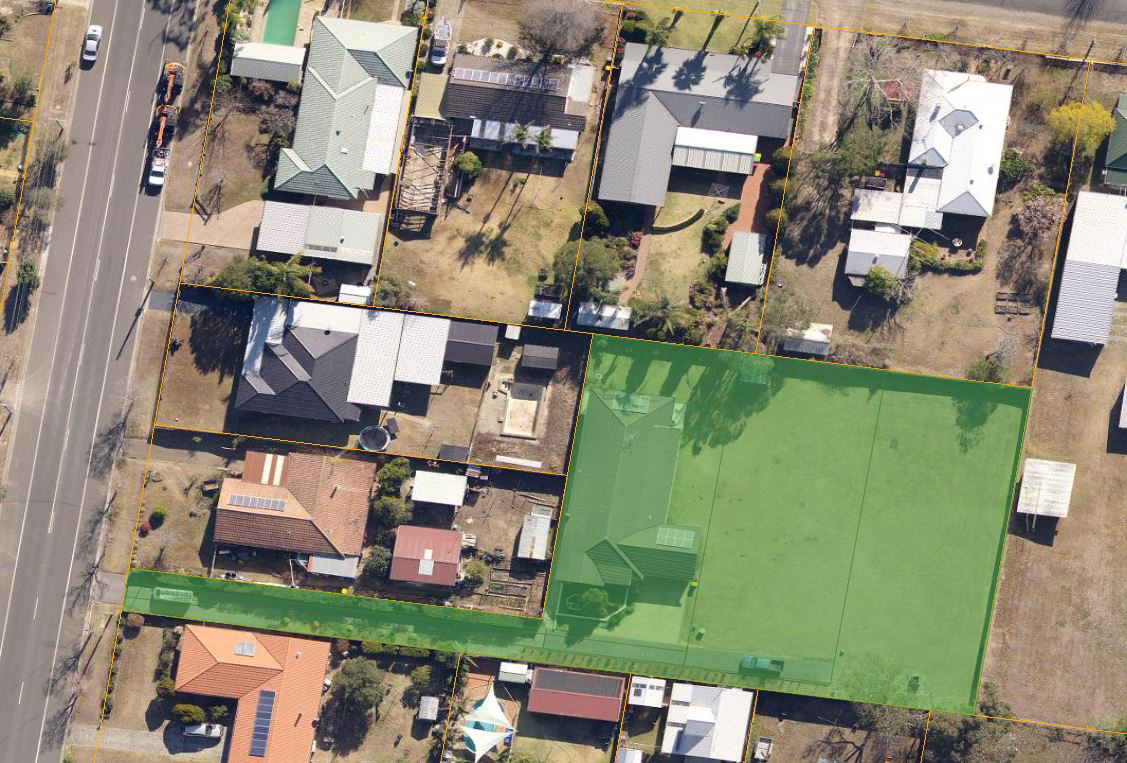
Reliable spatial information about the location of future property development is required if NSW is to meet its ongoing housing supply targets. This data is critical for the coordination of future infrastructure, the rationalisation of development approval processes and the provision of essential services in the quickest possible time frame.
DCS Spatial Services has recently released updates to its Cadastre NSW cloud-based system which supports more efficient processes for land use and infrastructure planning activities for new developments in NSW. Currently the service captures information, including new property boundaries, as part of the pre-registered subdivision certificate process. When combined with planning data, this new source of information supports more efficient and comprehensive assessment of NSW planning applications, while further incentivising the transition to digital interactions with government derived from a single source of truth.
Cadastre NSW provides a subdivision and strata plan digitisation service that underpins near real-time mapping of property development across NSW. Cadastre NSW has been fully integrated with the NSW Planning Portal since 1 September 2022, enabling Local Government Authorities (LGAs), state government departments, state utility providers and private industry to securely view digitised plans.
Achievements
Cadastre NSW enables:
- community to have improved transparency, information accessibility and service availability
- Government to have greater data intelligence to support decision making and identify & address bottlenecks
- developers to have more certainty for approval timeframes, reduced risk profiles, faster capital reinvestment
- infrastructure providers to have enhanced planning & delivery coordination.
Engagement
This project has been partnered with Department of Planning Housing and Infrastructure, Local Government Authorities (LGAs), state government departments, state utility providers and private industry.
Department leading the project
Department of Customer Service – Digital NSW – DCS Spatial Services