SEED Map
Transforming Access to Environmental and Spatial Data
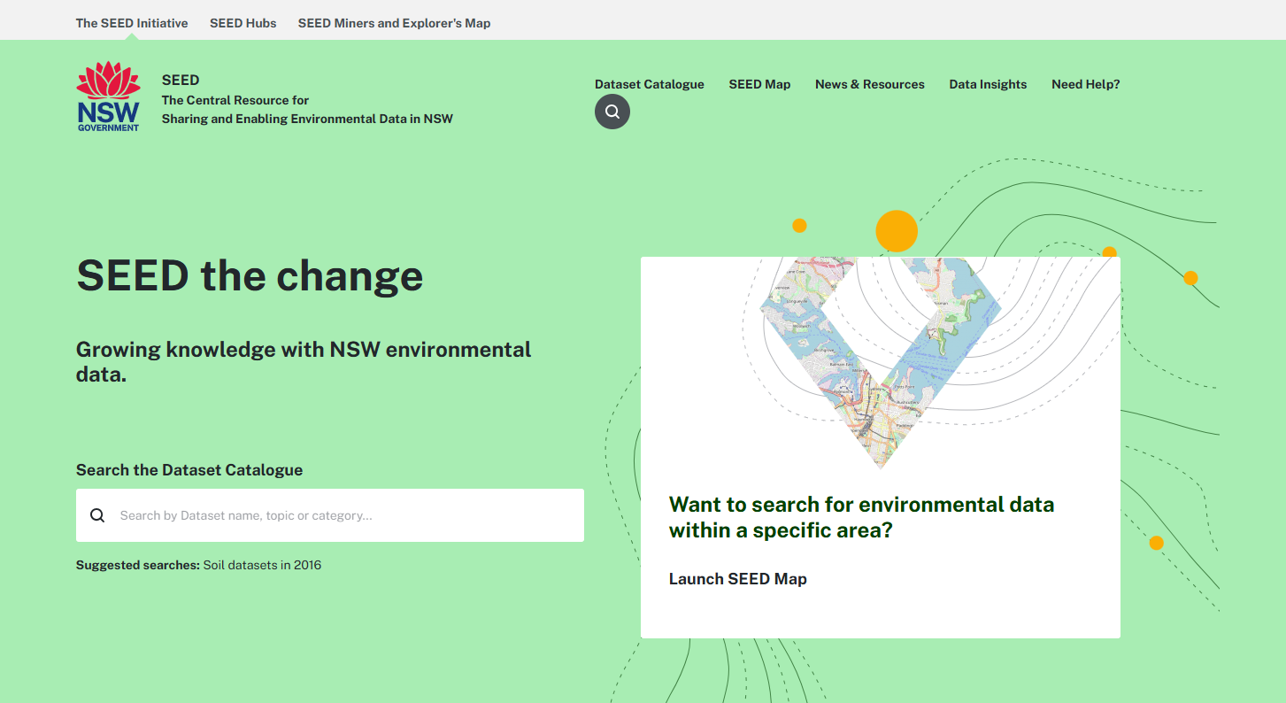
The Sharing and Enabling Environmental Data (SEED) map is an interactive map of environmental data across NSW. The map is a core feature of the NSW Government's central resource for SEED, accounting for around a third of all site traffic. It is used to spatially interpret environmental data by the public, academics, industry and government. From environmental assessments to recreational interests.
Based on user feedback, the original SEED map was difficult to navigate, important tools were hidden, and it lacked interactivity. In keeping with program commitments to continuous improvement based on human centred design and innovation, a solution was needed to maintain the relevance and value of the map.
To address this, the SEED map was transformed with the integration of next-generation VertiGIS technology, making it more intuitive and accessible for non-technical users. A design-led and user centred focus was taken to develop the new map, ensuring that both user needs and technical best-practice was integrated throughout.
This cutting-edge upgrade delivered a more responsive experience with scalable capabilities that surpassed previous limitations. Designed to stay ahead of innovation, the map was also equipped to adapt to emerging technological trends and future demands. To support users, educational resources were developed, including integrated tooltips that guided users directly within the map, ensuring a seamless and informed interaction with the advanced platform.
Achievements
The updated environmental mapping platform has revolutionised how people across NSW engage with and understand environmental data. By offering free and accessible tools, it has made data insights both feasible and tangible for everyone. Educational resources promoting data literacy have further enhanced workforce capability, empowering users to treat data as a valuable asset.
The platform’s intuitive interface allows users to extract insights and apply them to their work independently, reducing reliance on technical expertise. These benefits are underpinned by increased system efficiency through routine maintenance and security updates, expanded functionality to meet growing demands, and a future-ready design leveraging cutting-edge technology to adapt to emerging needs. This transformation reflects a broader commitment to making environmental data accessible, actionable, and impactful for all.
Engagement
Over 100 stakeholders have been engaged, including representatives from:
- Government (NSW Department of Primary Industries and Regional Development, Department of Planning, Housing and Infrastructure, Department of Climate Change, Energy, the Environment and Water, NSW State Emergency Service, Local Government, Department of Customer Service, Environment Protection Authority).
- Non- government: Representatives from Industry, Consultancies, Research Institutions, NGO’s and citizens, and technical vendors
Department leading the project
Department of Climate Change, Energy, the Environment and Water